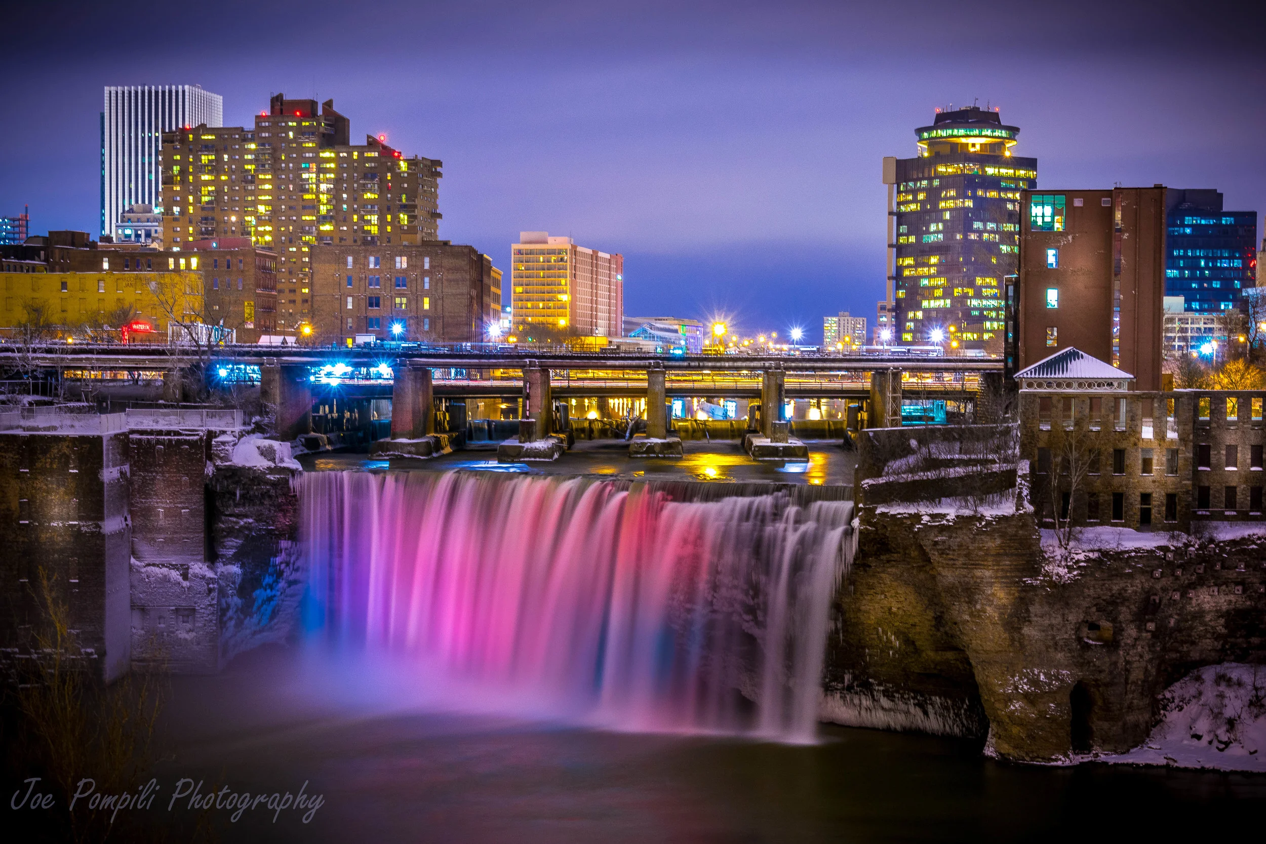
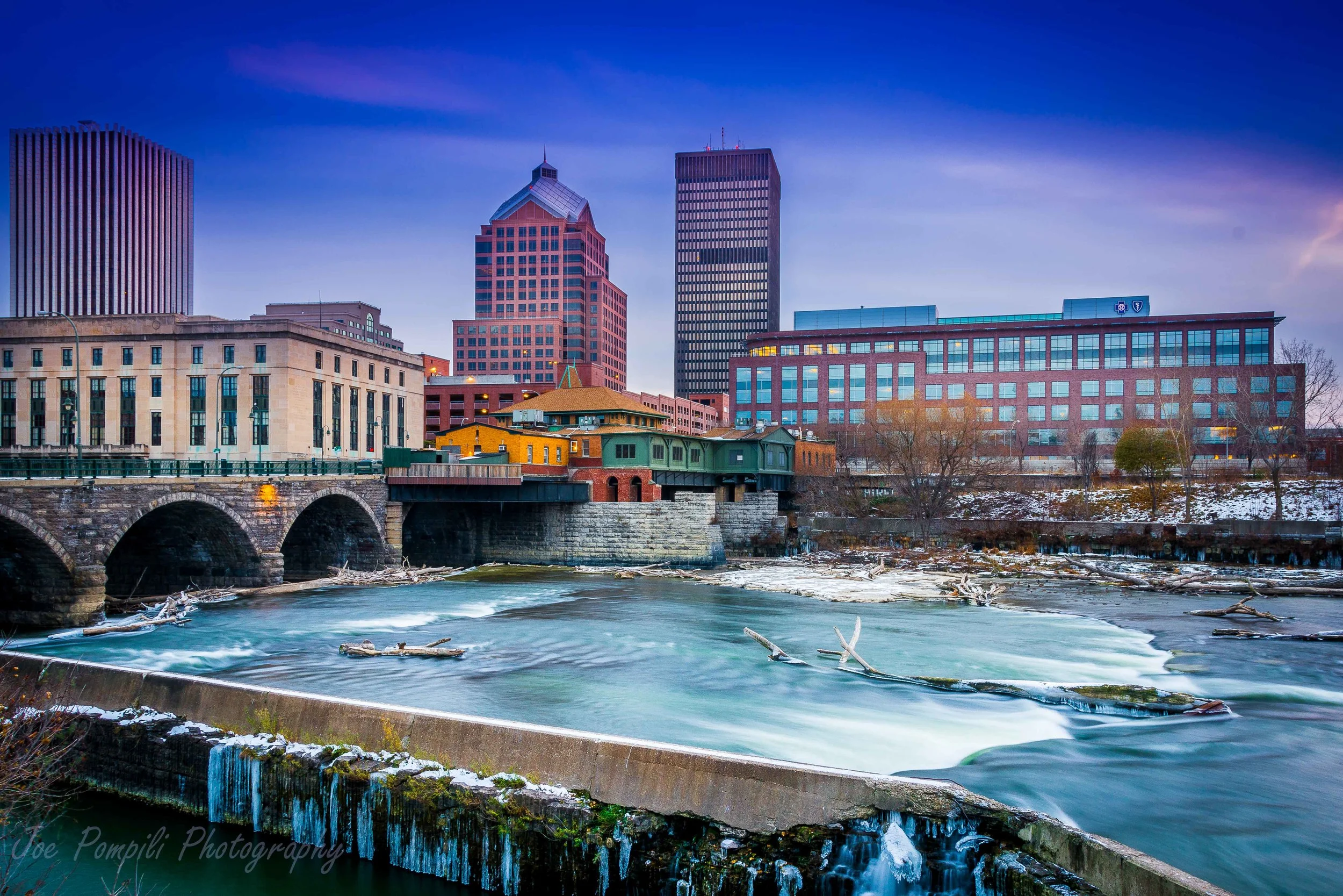
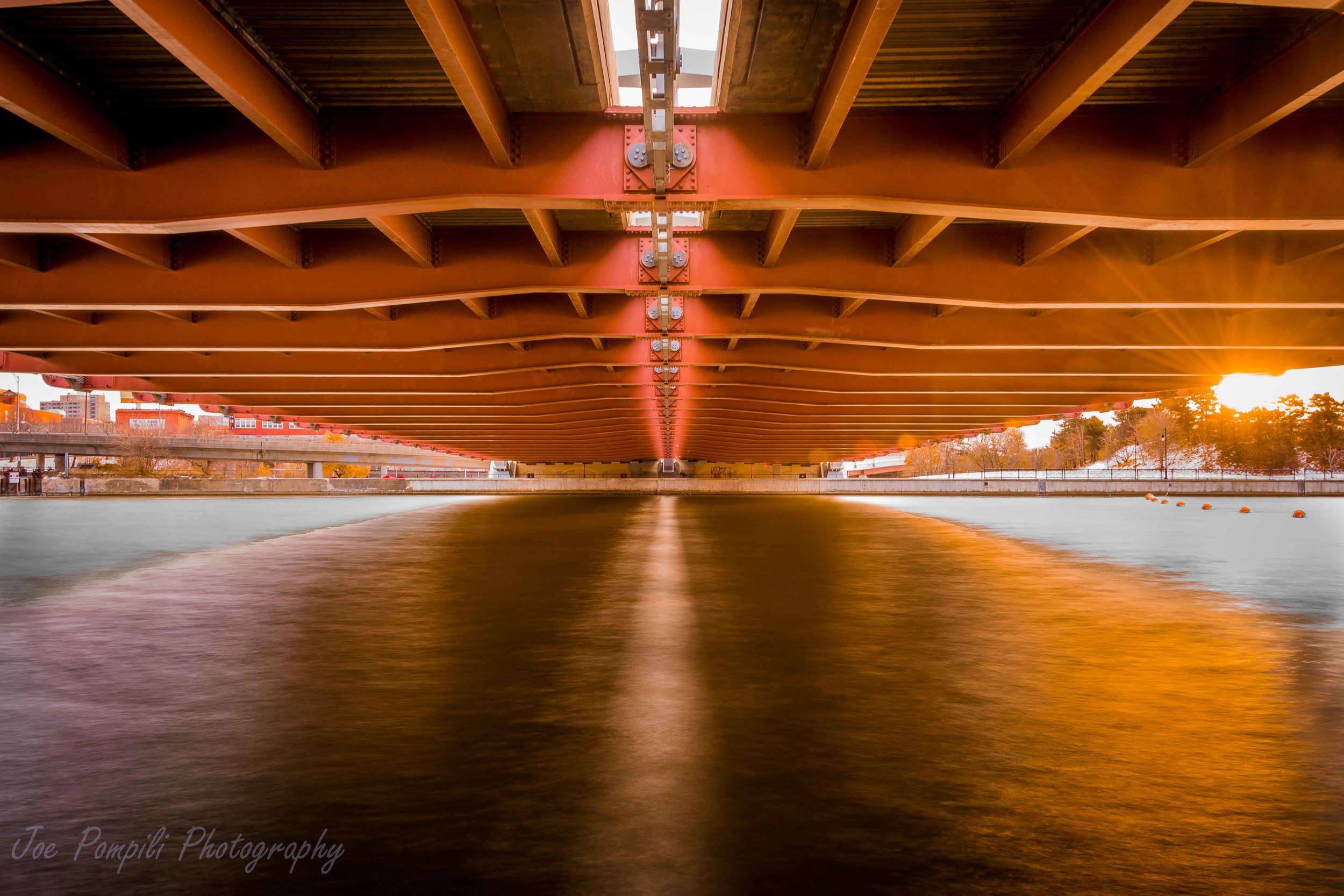
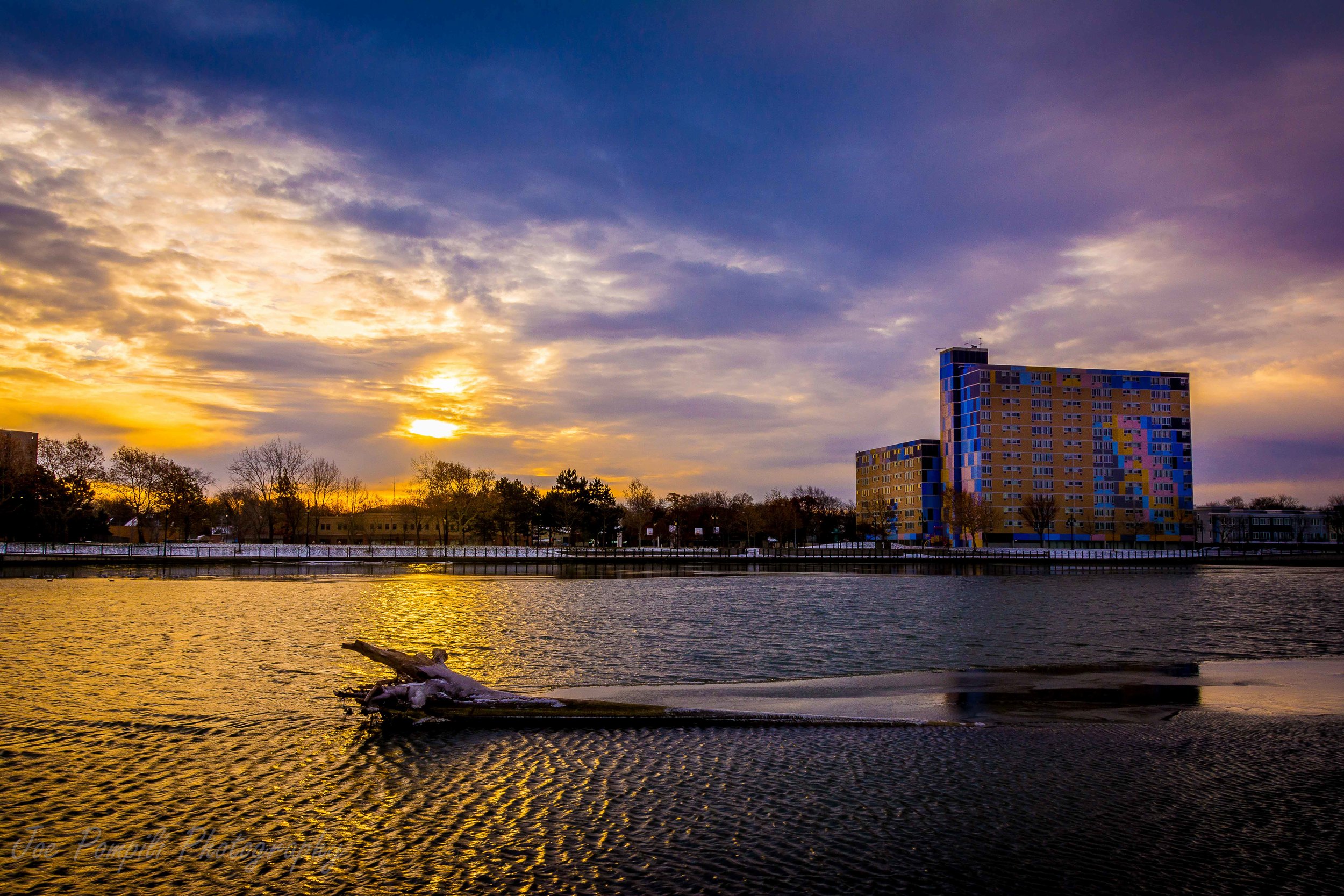
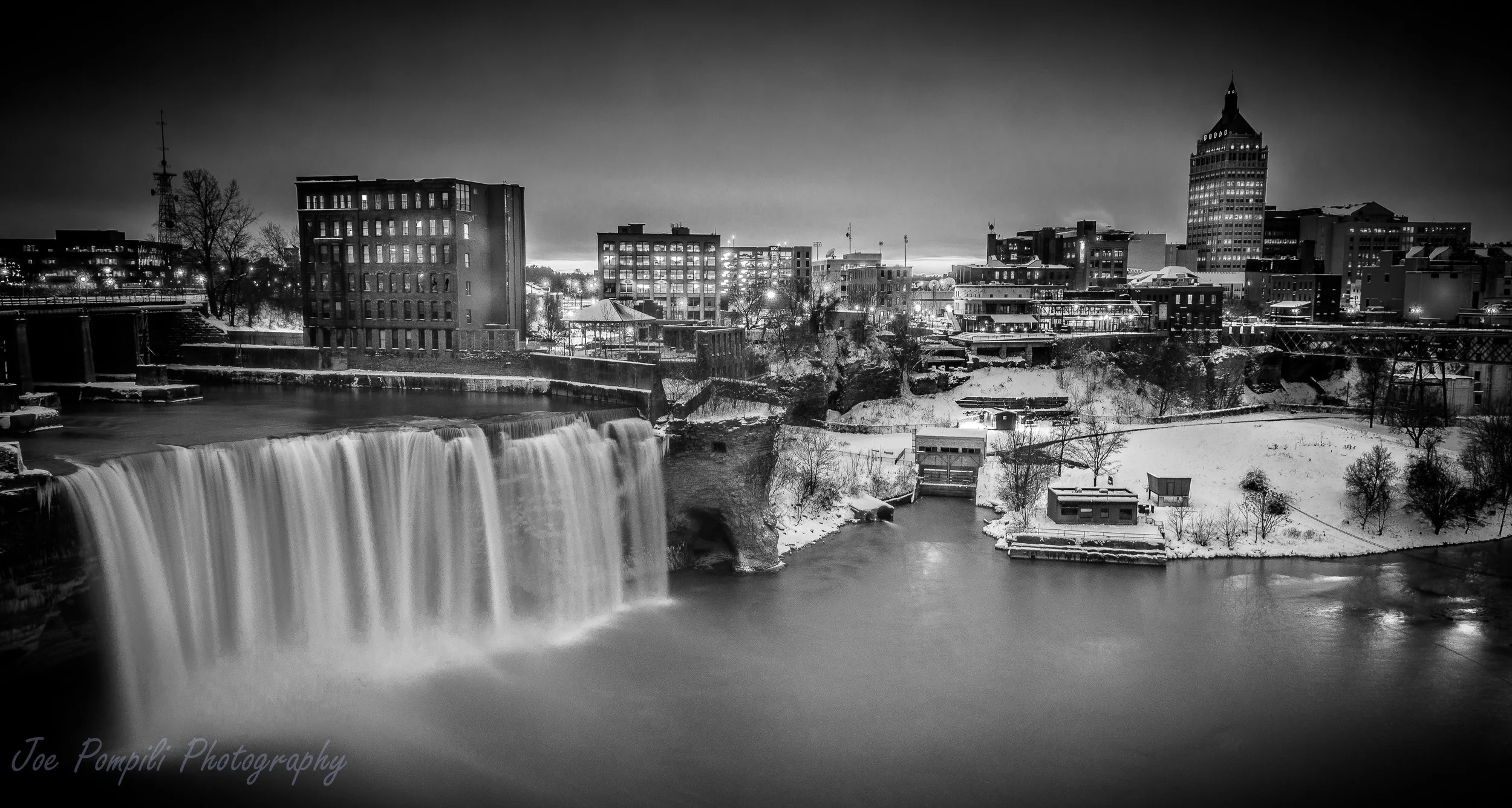
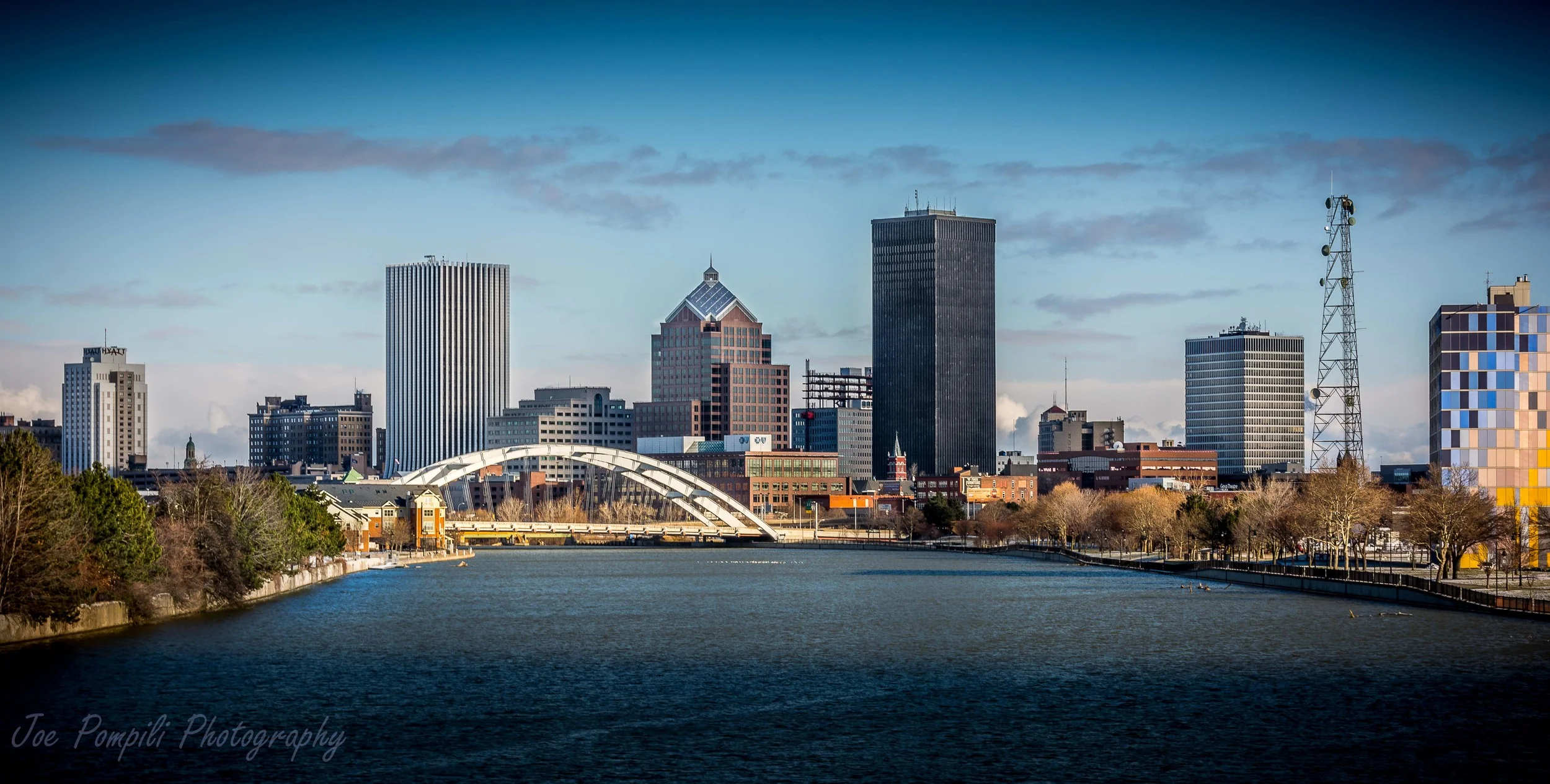
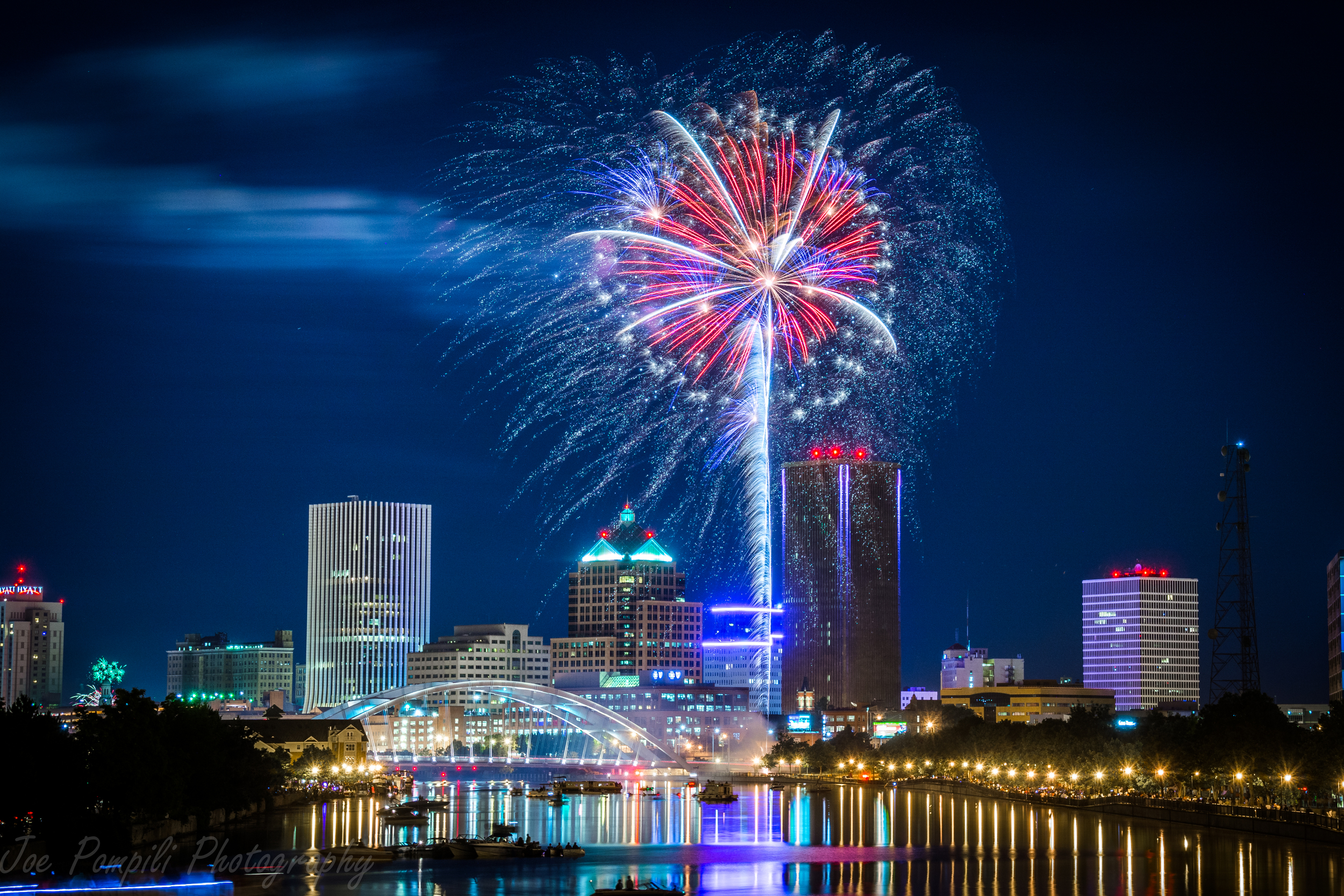
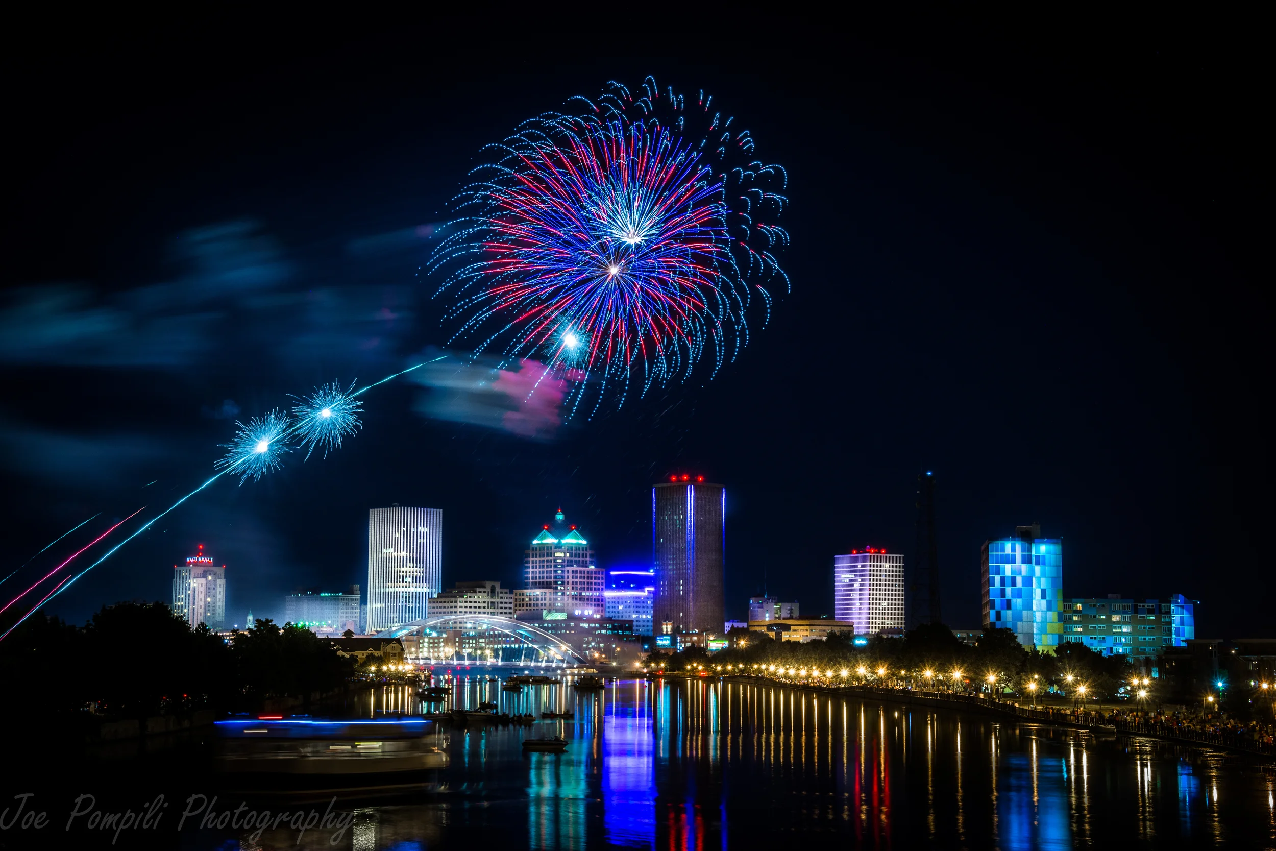
Rochester
**Click images below to enlarge and see description**
Rochester is a city in Monroe County, New York, south of Lake Ontario in the United States. Known as the World's Image Center, it was also once known as the Flour City, and more recently as The Flower City, annually hosting the Lilac Festival. It is the county seat for Monroe County.
Rochester's city population according to the 2010 census is approximately 210,565, making it New York's third most populous city after New York City and Buffalo. It is at the center of a larger metropolitan area which encompasses and extends beyond Monroe County and includes Genesee County, Livingston County, Ontario County, Orleans County and Wayne County.


Mount Hope Cemetery
Mount Hope Cemetery in Rochester, New York, founded in 1838, is one of the United States' first municipal rural cemeteries. Situated on 196 acres of land adjacent to the University of Rochester on Mount Hope Avenue, the cemetery is the permanent resting place of over 350,000 people. The annual growth rate of this cemetery is 500-600 burials per year. Mount Hope also contains the ruins of a now outdated catacomb system, most notably with its sealed entrance on the east-facing drumlin upon entering the cemetery from the north. Its alternative entrance (also sealed) can be found in the Sunken Garden of Warner Castle across Mt. Hope Avenue.
About 12,000 to 14,000 years ago, Mount Hope was covered with ice one to two miles thick. As the glacier receded, cracks appeared in the ice, and these crevasses became rivers of water and gravel. When the miles-high ice sheets finally melted, these river beds were left as ridges created from all the rock and rubble that had been deposited by the flowing river. In geological terms, these ridges are called eskers. One such esker snakes its way through much of Mount Hope Cemetery. The Seneca Indians used it as a trail from the Bristol Hills south of Rochester to Lake Ontario on the city's northern border. For them, it provided a continuous high path through the moraine and visibility of valleys around them. Today, this esker is a principal vehicular lane through the cemetery and is called Indian Trail Avenue.


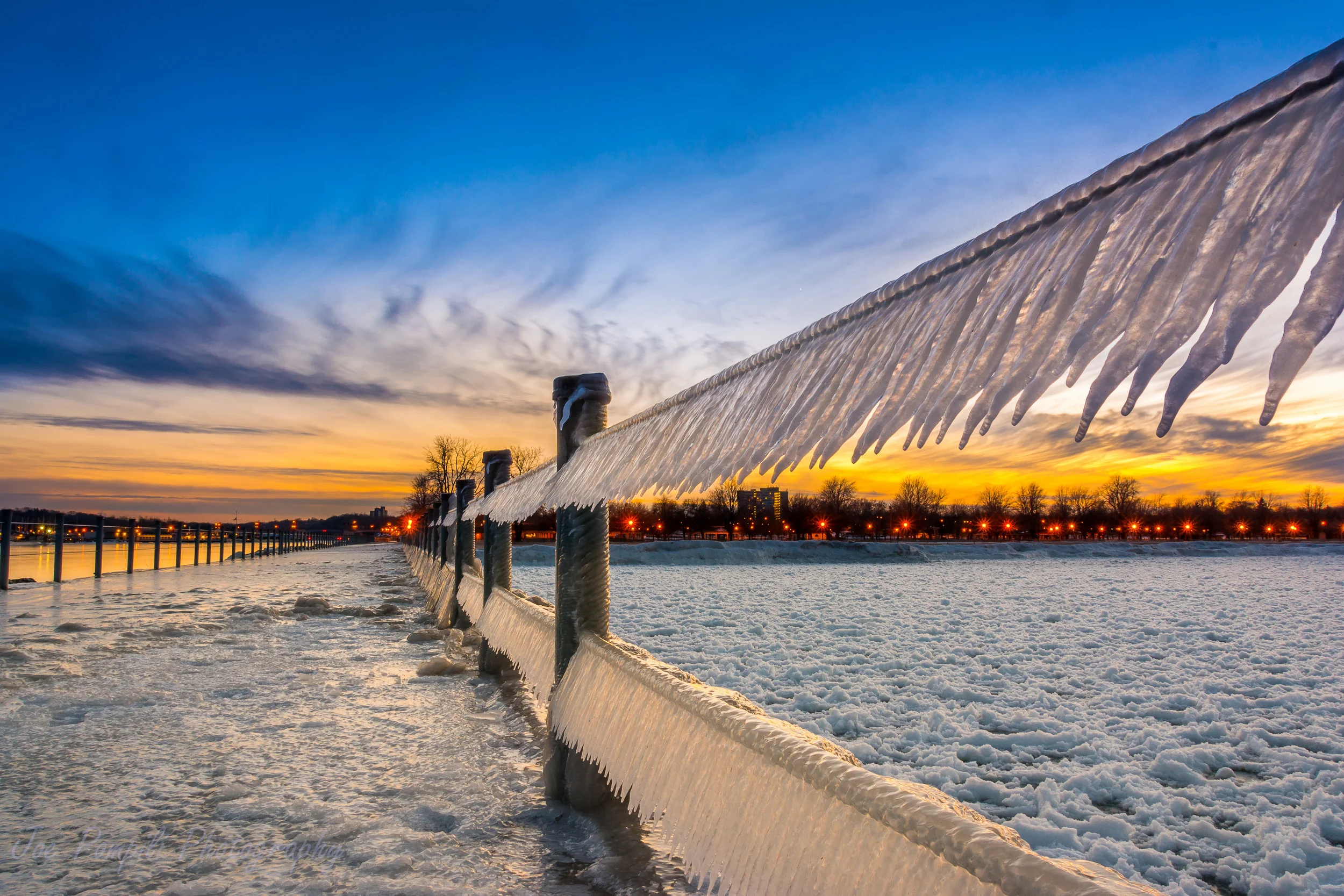
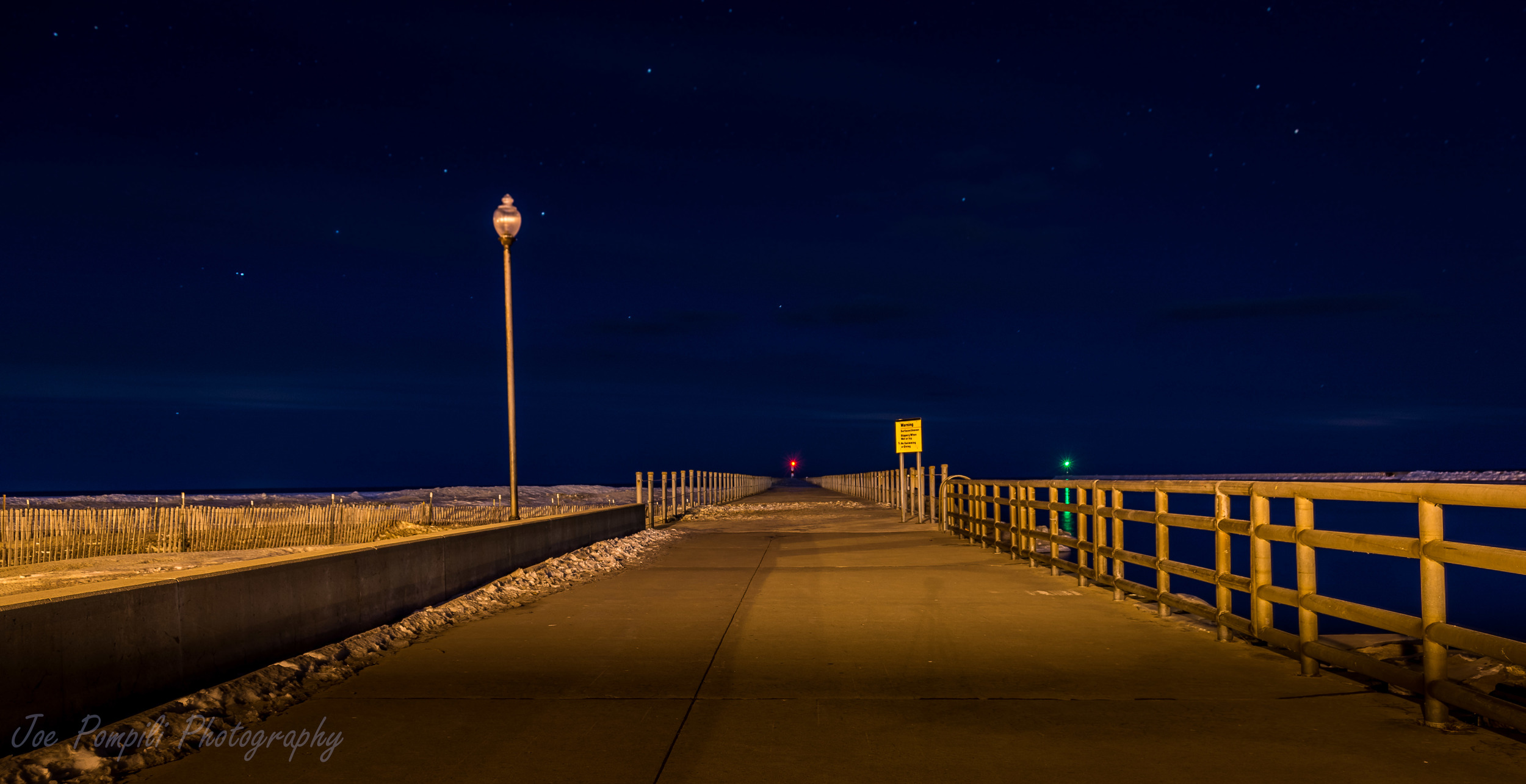
Charlotte Pier
This pier at the Rochester Harbor in Charlotte is 721 meters long with a harbor light at the end.
Another pier supports the eastern side of the Genesee River. Opposite the land side of the pier is the Coast Guard station. Opposite the Lake Ontario end is the end of the other pier, which appears to have a weather station on the end of it.
Lake barges pass through the Rochester Harbor, up to Turning Point Park. For awhile, the ferry that serviced Rochester to Toronto traffic from the Port of Rochester, and these piers protect the mouth of the Genesee River from an invasion of sand from the beach to the west.
The light "house" at the northern end of the pier also represents the northern terminus of the Genesee Riverway Trail that takes a hiker from the north end of the City of Rochester to the south end (Town of Brighten boundary line) and joins with the Genesee Greenway trail that can take a hiker to Lockport, intersecting with the main Finger Lakes Trail. The caveat is that the hiker must walk the pier twice (out and back) to count the whole 18 miles of the Genesee Riverway Trail as complete!